| IERS and contributing techniques | IERS DORIS Data Centers | DORIS related sites |
| Satellites | International Resources and Programs | Analysis related bookmarks |
IERS and contributing techniques
 |
IERS International Earth Rotation and Reference Systems Service |
| IGS International GNSS Service | |
 |
ILRS International Laser Ranging Service |
 |
IVS International VLBI Service for Geodesy and Astrometry |
IERS DORIS Data Centers
 |
IGN Data Center (France) ftp site at doris.ign.fr |
| GSFC/CDDIS Data Center (USA) web site and archive (authenticated access) sites (other access) |
DORIS related sites
 |
DORIS official website - CNES - Aviso/Altimetry |
 |
CNES Centre National d'Etudes Spatiales Presentation of the DORIS programme |
 |
IGN Institut national de l'information géographique et forestière (in French) System presentation, Network Site Logs, IGN contribution, Geodetic and other applications |
 |
NASA/GSFC Space Geodesy Project |
 |
LEGOS/GRGS |
 |
AVISO Altimetry |
 |
CLS Science and technology for studying and monitoring our planet |
Satellites
 |
SPOT-4 - CNES - Earth Observation Satellite |
 |
TOPEX/POSEIDON - CNES - Aviso/Altimetry |
 |
TOPEX/POSEIDON - NASA/JPL - Ocean Surface Topography from Space |
| Jason-1 - CNES - Aviso/Altimetry | |
 |
Jason-1 - NASA/JPL - Ocean Surface Topography from Space |
 |
Jason-2 - CNES - Aviso/Altimetry |
 |
Jason-2 - NASA/JPL - Ocean Surface Topography from Space |
 |
ENVISAT - ESA - Oceanography mission |
 |
CryoSat - CNES Projects Library |
| CryoSat - ESA | |
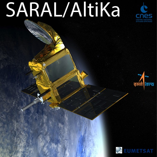 |
SARAL - CNES Projects Library |
| SARAL - ISRO | |
 |
Jason-3 - CNES Projects Library |
| Jason-3 - NASA/JPL - Ocean Surface Topography from Space | |
| Jason-3 - Eumetsat | |
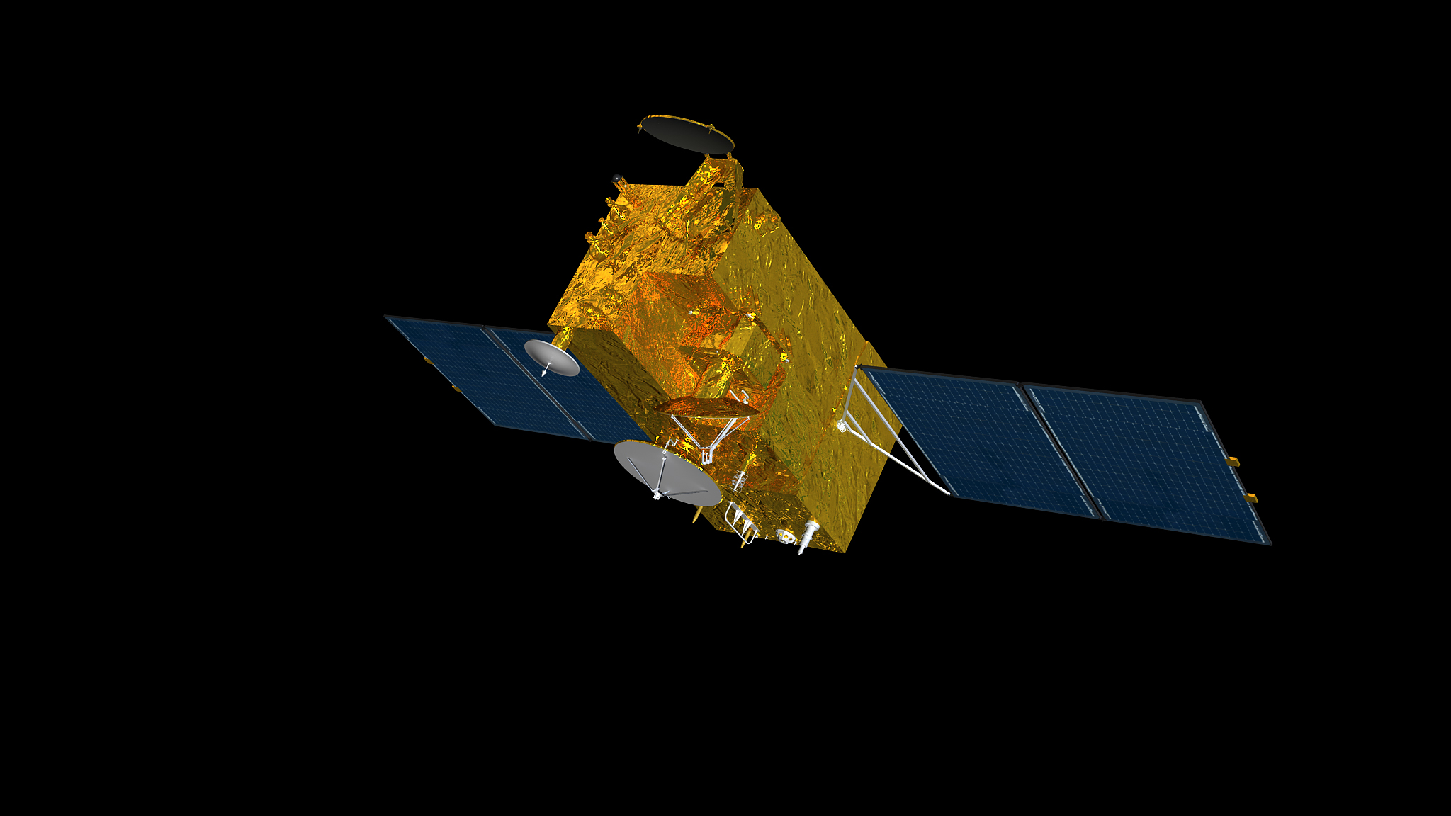
| Sentinel-3 - CNES Projects Library | |
| Sentinel-3 - ESA | |
| Sentinel-3 - Eumetsat | |
 |
HY-2A - CNES - Aviso/Altimetry |
| HY-2C - CNES - Aviso/Altimetry | |
| HY-2D - CNES - Aviso/Altimetry | |
 |
Sentinel-6 - CNES Projects Library |
| Sentinel-6 - NASA/JPL - Ocean Surface Topography from Space | |
| Sentinel-6 - ESA | |
| Sentinel-6 - Eumetsat | |
 |
SWOT - CNES Projects Library |
| SWOT - NASA/JPL |
International Resources and Programs
 |
IUGG International Union of Geodesy and geophysics |
 |
IAG International Association of Geodesy |
 |
GGOS The Global Geodetic Observing System |
| ISC International Science Council (ISC) | |
 |
WDS World Data System (WDS) |
 |
EGU European Geosciences Union |
| AGU American Geophysical Union | |
 |
COSPAR Committee on Space Research |
Analysis related bookmarks
GRACE websites:
| GFZ Potsdam | |
| CSR Austin |


