IDS - International DORIS Service
 
IDS - International DORIS Service
  • IDS
    • Section content
    • Quick reference list
    • Organization
      • About IDS
      • Terms of Reference
      • Structure
      • Governing Board
      • Central Bureau
      • Analysis coordination
      • Analysis Centers
      • Combination Center
      • Data Centers
      • Working Groups
      • Associate Members
    • Meeting calendars
      • IDS Meetings
      • Meetings relevant for IDS
      • Other Calendars
    • Contacts & links
      • Contacts
      • Links
      • Directory
    • Gallery
  • Network & Stations
    • Section content
    • Network browser (sitelogs)
    • Maps
    • Network on Google Earth
    •  Network viewer Network viewer
    •  Station position times series Station position times series
  • Missions & System
    • Section content
    •  The DORIS technique The DORIS technique
    • Missions
    • Satellites in orbit
    •  Orbit residuals time series Orbit residuals time series
  • Data & Products
    • Section content
    • Tables of Data & Products
    • Data structure and formats
    • Information & DC organization
    • Central Bureau https
    •  CDDIS https CDDIS https
    •  IGN ftp://doris.ign.fr/pub/doris/ IGN ftp://doris.ign.fr/pub/doris/
  • User corner
    • Section content
    • Table of system events
    • Day convertor
    •  Network viewer Network viewer
    •  Plot tools Plot tools
      • Station position
      • Position residuals
      • Orbit residuals
      • Combination parameters
      • Earth Orientation Parameters
    • Applications
    • Combination Center
      • Activity & Products
      • Cumulative solution
      • DPOD
      • Contributions to ITRF
    • About DORIS/RINEX format
  • Resources
    • Section content
    • List of the documentation
    • Outreach material
    • Technical documents
    • Articles
      • DORIS bibliography
      • Citation
    • IDS publications
      • Newsletter
      • IDS Activity Reports
    • Presentations
      • Presentations at IDS meetings
      • IDS-related presentations
      • OSTST POD sessions
      • Other publications
    • IDS documents
      • Minutes IDS GB meetings
      • Other IDS documents
      • Mails
    • FAQ

Highlights

Highlights

IDS website is evolving. Find out what's changing

Next AWG meeting: November 6&7, 2025, Athens, Greece

New composition of the IDS Governing Board

A Doppler satellite tracking system

A Doppler satellite tracking system

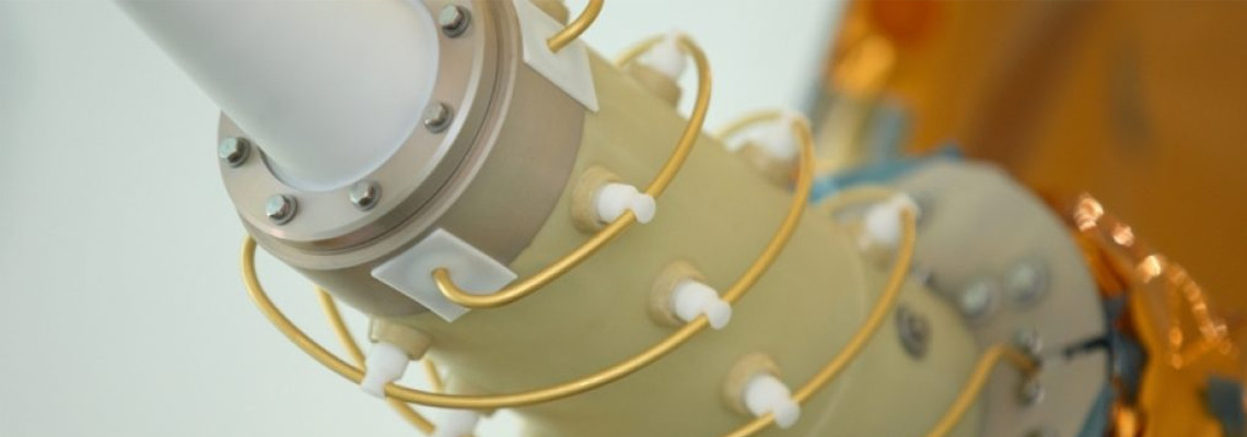
DORIS (Doppler Orbitography and Radiopositioning Integrated by Satellite) is a system developped for precise orbit determination and precise ground location.
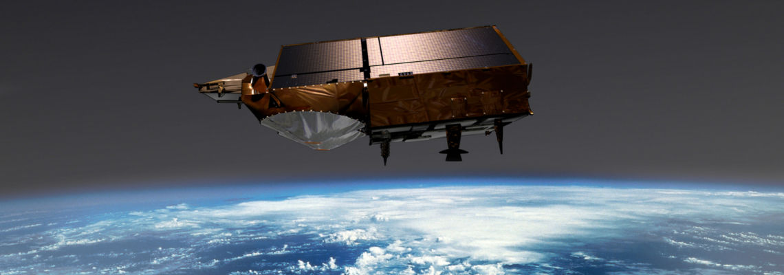
The DORIS constellation

The DORIS constellation

DORIS is onboard the Cryosat-2, SARAL, Jason-3, Sentinel-3A, Sentinel-3B, HY-2C, HY-2D, Sentinel-6A and SWOT altimetric satellites. It also flew with SPOT-2, SPOT-3, SPOT-4, SPOT-5, TOPEX/POSEIDON, ENVISAT, Jason-1, Jason-2 and HY-2A.
International DORIS Service

International DORIS Service

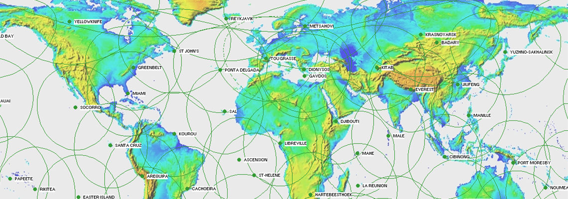
IDS is an international service which provides a support, through DORIS data and products, to geodetic, geophysical, and other research and operational activities.

Previous Next

  1. Home
  2. Network
  3. Station
  4. DORIS station

Discover IDS

  • Organization
  • Table of Data & Products
  • Bibliography
  • Newsletter
  • IDS video channel
  • Presentations at IDS meetings
  • Technical documents
  • Activity reports

Discover DORIS

  • The DORIS technique (AVISO+ website)
  • The satellites
  • The network
  • The stations (sitelogs)
  • Network on Google Earth

DORIS system monitoring

  • Table of system events
  • Visualize products time series
  • POE statistics
  • Network viewer
ICSU-WDS
ICSU-WDS
ICSU-WDS


logo cnes

Site Map |  Contact |  Citation |  Mails |  FAQ |  Glossary
Personal Data Protection Policy |  Legal Notice
Copyright © 1999-2025 CNES-CLS. All Rights Reserved.